South Tyrol Vinschgau | Latsch - Martell Valley
South Tyrolean Strawberry Festival
South Tyrol Vinschgau

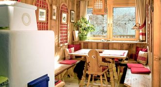
Genuine South Tyrolean mountain marende (snack) with Vinschger bread and cheese | © Marketinggesellschaft Meran/Frieder Blickle
In South Tyrol's sunniest region, nowhere are you closer to heaven than on the Vinschger Höhenweg.
The 108-kilometer route from Reinhold Messner's Juval Castle to the source of the Etsch River at the Reschen Pass can be hiked in its entirety or in individual stages.
The adventure march leads mountain lovers through species-rich vegetation and a nature that could not be more contrasting. At eye level majestic ice giants, in the depths the lush green valley. On the way, rustic refreshment stops and plenty of culture entice you.
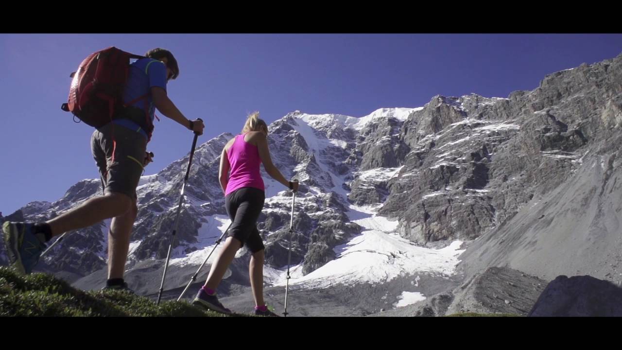
This video is embedded directly from YouTube. By loading the video you accept the privacy policy of Youtube.
© vacation region Vinschgau
The hike on the Vinschger Höhenweg is as multifaceted as the region in which it is located: The paths on the Sonnenberg, with its diverse vegetation of tumbleweeds and herbs, offer exciting views of the highest mountains in South Tyrol and into the fertile valley. The 108-kilometer route runs from Reinhold Messner's Juval Castle above Naturno to the source of the Adige River at the Reschen Pass - partly on existing trails, partly on new ones, along romantic supply routes and along centuries-old irrigation canals. These Waalwege are typical of the Vinschgau Valley, the area of South Tyrol with the least rainfall and 300 days of sunshine a year.
The individual stages, which can be hiked in one piece or as part of a day trip, impress not only with scenic delights. Those who like can visit castles, churches and museums after the descent. Afterwards, you can feast to your heart's content. Rustic inns have snacks ready, and original South Tyrolean cuisine is served in elegant country inns.
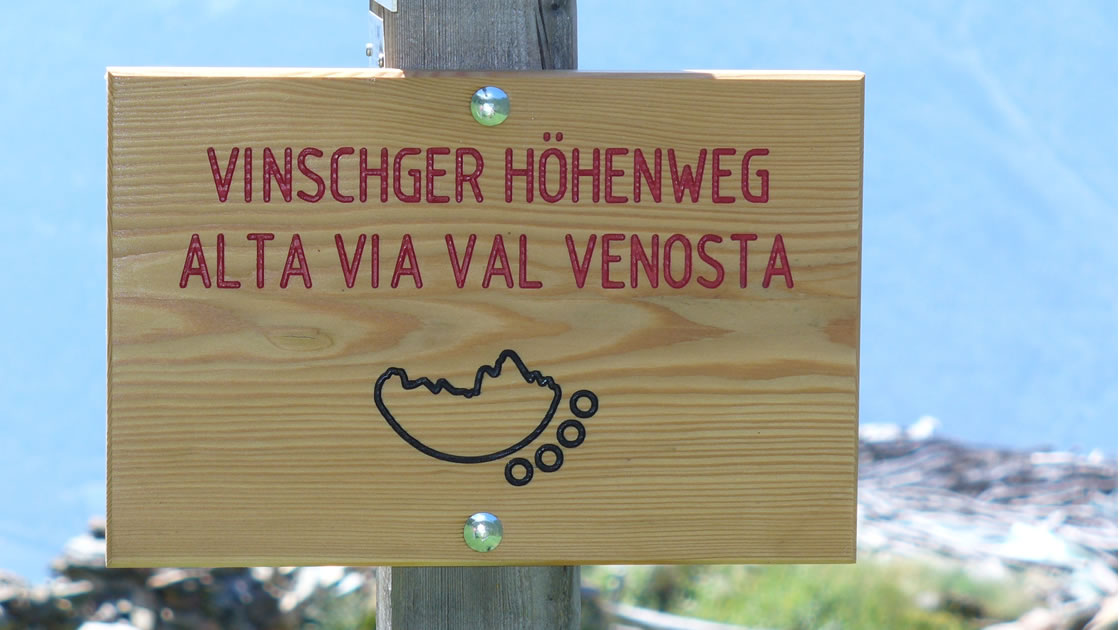
108 km Val Venosta high trail

Palabirne from the upper Vinschgau Valley
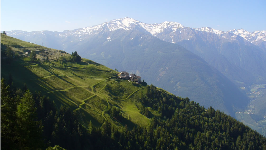
View from the Vinschger Höhenweg
From the marble village of Laas to the fish pond of Brugg
One Hundred and One Ways: Crossing Boundaries and Going Within Yourself
Winter sports and snow fun in Roman footsteps
Autumn hiking on South Tyrol's sunny side
This map is loaded from ArcGIS. By loading you accept the privacy policy of ArcGIS.


