Canton Grisons | Engadine
Engadinwind
-
Canton Grisons
Lake Toma, the source of the Rhine | © Sedrun Disentis Tourism, Mattias Nutt
Relaxed culinary routes, family-friendly themed trails and challenging high altitude tours.
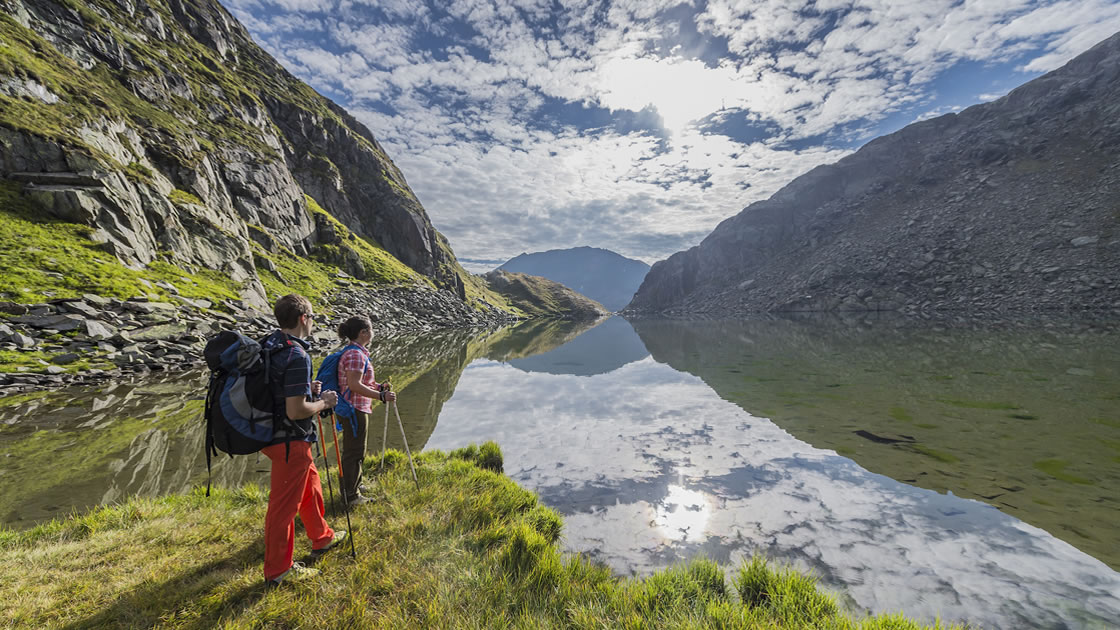
For original: Hike to the source of the Rhine
The Rhine's 1232-kilometer journey begins in the mountains of Graubünden. It passes through four countries and ends in the North Sea. To its source, Lake Toma at 2345 meters above sea level, the ascent is exclusively on foot. The shortest route from the Oberalp Pass takes just over two hours. Nevertheless, hikers should allow enough time, because in midsummer the fresh water of the mountain lake offers welcome cooling. Hungry hikers can enjoy simple dishes at the Maighelshütte and enjoy the view of another lake, the Lai Urlaun.
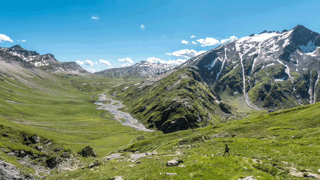
For nature lovers: hut tour across the untouched Greina plateau
On the three-day hut tour from Surselva to the Lukmanier Pass, the route passes through two Swiss cantons at once - Graubünden and Ticino. The tour starts in Vrin in Val Lumnezia, a mountain village straight out of a picture book. On the way to the first hut, hikers like to stop off at Café Greina. There, gamekeeper Pirmina Caminada serves cheese and dried meat in a yurt, as well as home-brewed drinks made from mountain herbs. Shortly after, the highlight of the tour awaits: the crossing of the Greina plateau, a landscape untouched by man, with small rivers running through it. The destination for the day is the Scaletta hut on the edge of the Greina plain. On the second day, the trail descends steeply into the Blenio Valley before ascending again just as steeply. This section is particularly beautiful in autumn, when the surrounding larch forests glow yellow. The third and last stage of the day leads from the Capanna Bovarina hut back to the Lukmanier Pass, from where hikers can return to Surselva by post bus.
For culture fans: On the tracks of the muleteers
Swaying footbridges, narrow bridges, abyssal gorges - for the mule track from Thusis over the Splügen Pass to Chiavenna in Italy, travelers used to need strong nerves. Today, the trail, which is over 60 kilometers long, is wide and safe, but no less impressive. It is one of the most popular long-distance hiking routes in the region. On the first of the four stages, hikers can delve particularly deeply into the history of the once so important Alpine transit route with a visit to the Viamala Gorge. For this route did not get its name - Viamala means "bad road" - for nothing. The day's destination is Andeer, where tired muscles can relax in the mineral baths of the same name and gather new strength for the next day.
For families: Along the railroad line on the Albula Pass
The Albula line of the Rhaetian Railway does not bear the title of UNESCO World Heritage Site for nothing. The railroad line is so uniquely built into the landscape that all passengers' mouths drop open at the latest when they cross the Landwasser Viaduct. On the Albula Railway Experience Trail, which runs parallel to the line, young and old rail fans can also discover the interplay of landscape and technology on foot - and the high bridges are even more impressive from below. Along the trail there are panels with current and historical information that offer the whole family exciting insights into the world of the railroad.
For Rangers: Through the Swiss National Park to the Macun Lakes
The high alpine day hike from Zernez to the Macun lakes is demanding. The tour requires surefootedness as well as a head for heights, and there are a proud 1400 meters in altitude to conquer. The effort is worth it: the ascent leads through the unspoiled landscape of Switzerland's only national park. Once at the top, hikers are rewarded with views as far as Italy. 23 deep blue lakes, which lie like sapphires between meadows and boulders, sparkle in the distance. Those who want to save a few meters in altitude can take the Macun shuttle from Zernez to "Plan Sech". This shortens the hike by two hours.

Albula Railway Adventure Trail
Greina plateau
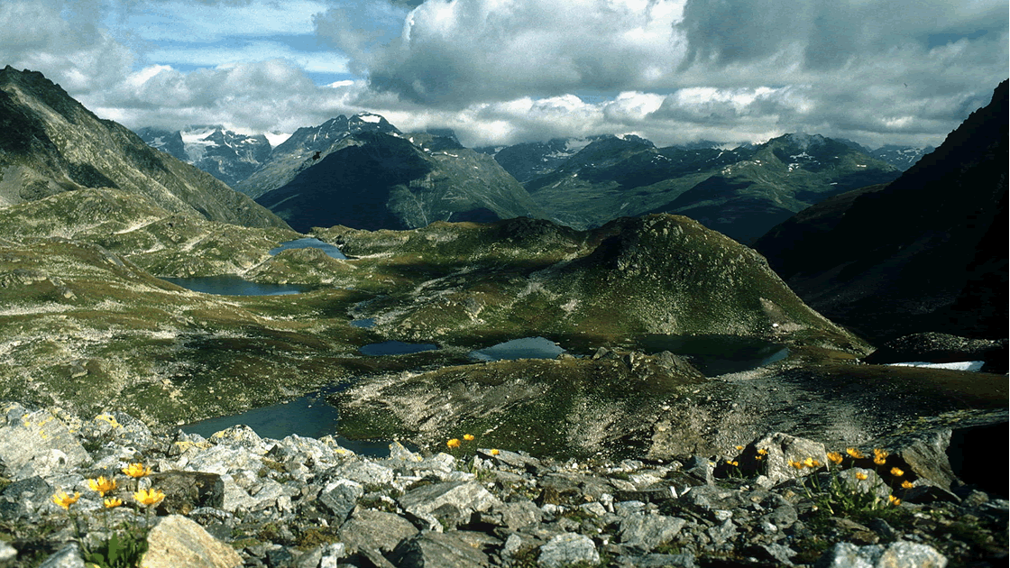
Macun Lake District


