stone egerta unplugged
Alps Liechtenstein
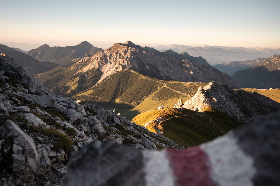
Route 66, Hiking through an entire country | © Liechtenstein Marketing
 Vacation in the Principality of Liechtenstein
Hiking through an entire country. It really exists, the officially signposted Route 66, which leads right through the Liechtenstein mountains.
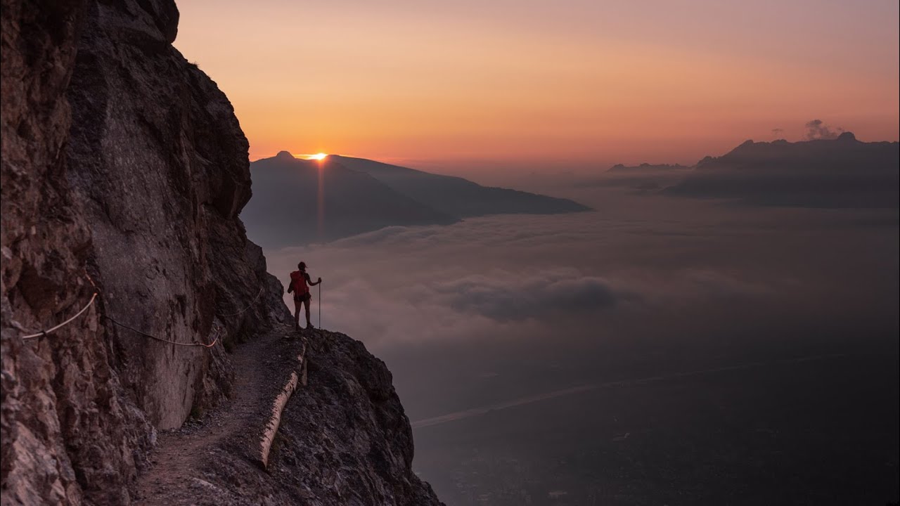
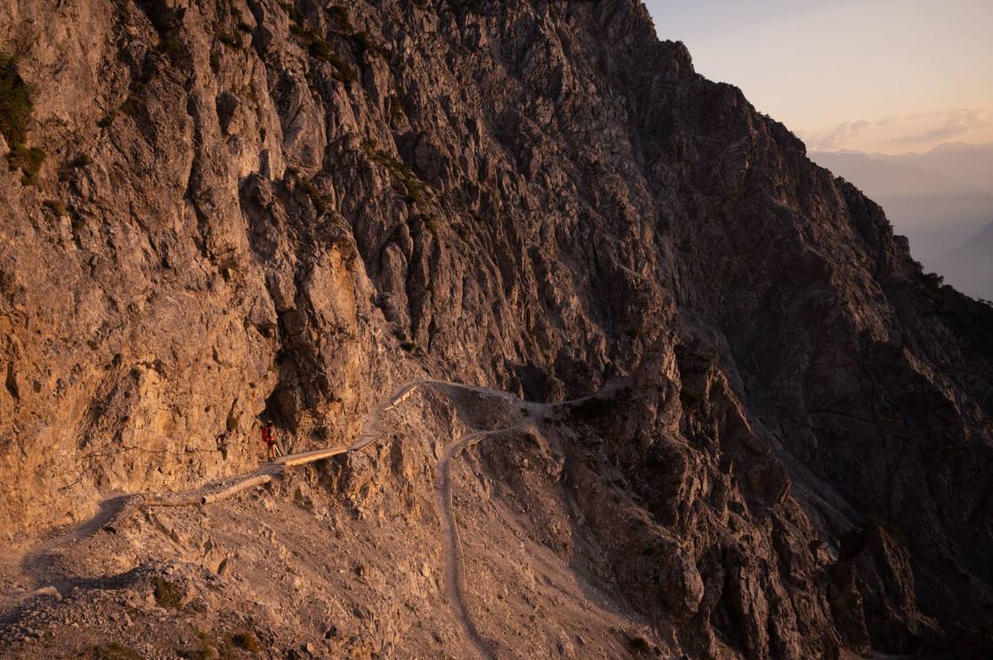
Hike in three day stages through the 160 km2 Principality of Liechtenstein. A highlight is the 48-kilometer Liechtenstein Panorama Trail - signposted with the number 66. It leads from Malbun in the south to Ruggell in the north practically through the entire Principality. A path like something out of a picture book: wild, almost untouched and with wonderful views. In total, Liechtenstein offers over 400 kilometers of signposted hiking trails.
Hiking in the midst of unique alpine flora
The first stage starts in the family-friendly resort of Malbun. On the Fürstin-Gina-Weg, the route goes up to the Augstenberg at 2,359 meters above sea level, the highest peak in Liechtenstein that is not a border mountain. After the first summit follows the descent to the Pfälzerhütte, which invites for a first rest. Afterwards, the hike continues comfortably through the Naaftal, over the Alpelti to the mountain inn Sücka, where you will spend the night. A special feature of this hike is the rich flora. Along the way, the hiker can discover almost all of Liechtenstein's 800 alpine plants.
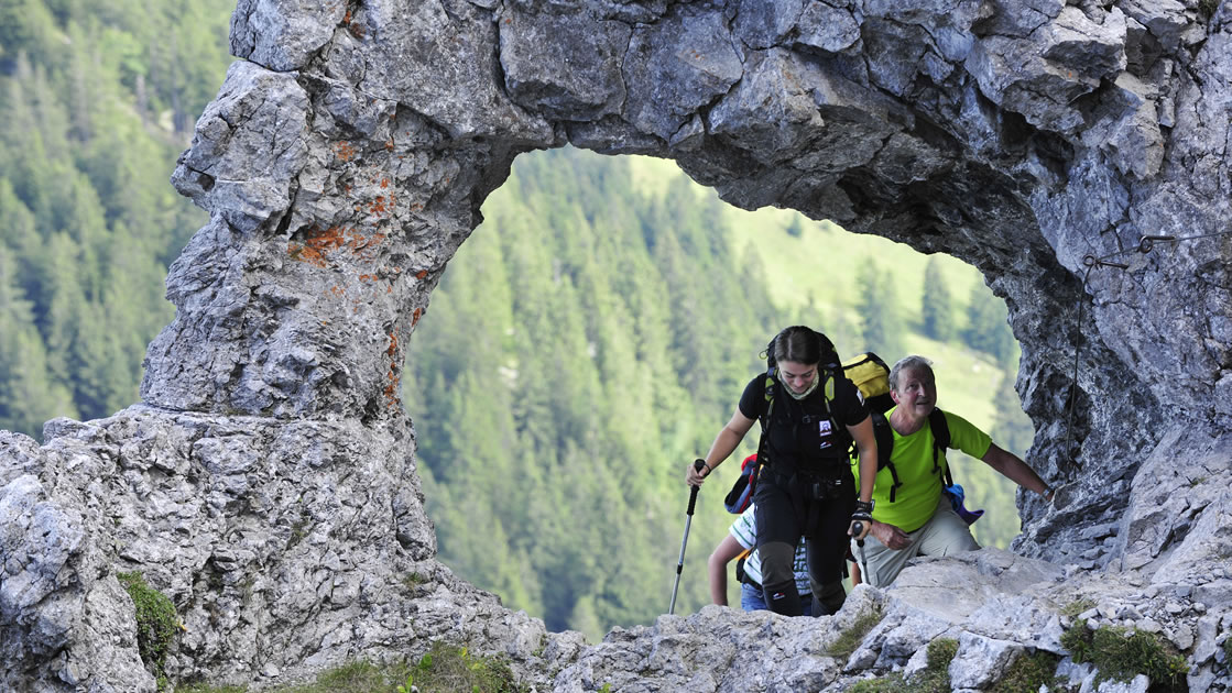
Fürstensteig and Drei Schwestern, hiking destinations in stages
On the second stage, two classics await. From the Sücka, the route continues along the ridge ridge, on which most of the tour leads to the Fürstensteig. For hikers who are free from giddiness and sure-footed, the Fürstensteig is a unique experience. Opened in 1898 and carved into the rock, it is one of the most famous trails in the Rätikon. After the imposing Fürstensteig, the legendary mountain range "Three Sisters" awaits. According to legend, three sisters were frozen to the rock here because they went berry picking on a Sunday instead of going to church. The Kuhgrat (2,123 m above sea level) is the highest point of this varied stage, which offers an excellent view of the Rätikon, the Swiss and Vorarlberg mountains. This stage ends in the Gafadura hut and the hikers can review their impressions with a fine refreshment.
Pleasure hike from the mountains to the valley
Finally, nature lovers can look forward to an enjoyable hike. From the mountains, the trail descends to the valley floor. Passing Nendeln and Mauren you pay your respects to Schellenberg. At 626 meters above sea level, the community of the same name does not count as a mountain for the people of Liechtenstein. Schellenberg is located on the ridge of the Eschnerberg, which extends as an inselberg in a north-easterly direction from Bendern (FL) to Feldkirch (A). The safe elevation above the Rhine valley made the Eschnerberg a preferred settlement site already in prehistoric times. Archaeological excavations could prove a settlement continuity since about 5000 BC. From Schellenberg, the trail descends to Ruggell, the lowest point in Liechtenstein and thus the final point of what is probably the most varied hiking route of "Route 66".
This video is embedded directly from YouTube. By loading the video you accept the privacy policy of Youtube.

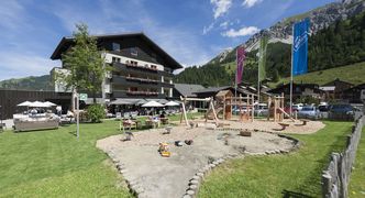
The top 8 family experiences
Unique in 3D and augmented reality
Tours for families, connoisseurs, mountain hikers
Fancy unique panoramas and unforgettable landscapes?
The Liechtenstein Way in 3 stages
The cultural treasure chest of the Principality


