South Tyrol Valle Isarco
Water Light Festival
-
South Tyrol Valle Isarco | Klausen
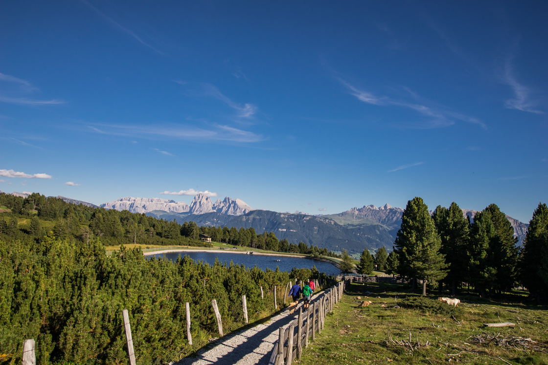
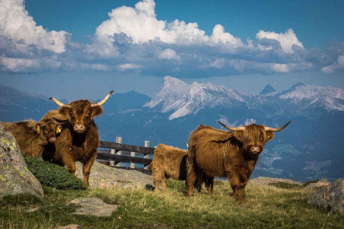
Hiking on the Villanderer Alm | © Helmut Moling
The Villanderer Alm is one of the largest high alpine pastures in Europe. A unique hiking area with a view of the Dolomites.
In their search for South Tyrol's center, scientists from the Institute for Applied Remote Research at Eurac Bolzano found the "Königslacken", the water holes near the Totenkirchlein on the Villanders alpine pasture. According to longitude and latitude, the center of South Tyrol is located right here in the municipality of Villanders. Enjoy the unique 360° view from the center of South Tyrol.
So on a hike to the Totenkirchlein you can expect not only the breathtaking panoramic view, the diverse hiking opportunities, the sights and treasures along the way but also the center of South Tyrol. Thanks to the wonderfully fresh mountain air and the fascinating panorama, you will not only find the center of South Tyrol here on the Villanderer Berg in the Southern Eisack Valley, but also find your own center again.
Circular hike Villanderer Alm
To the ridge of the dead. This circular hike on the Villanderer Alm offers the hiker panoramic views.
Start and finish of the tour: Gasser hut
Duration: 4:30 h
Distance: 14,1 km
Altitude difference: 520 hm
Max. Altitude: 2.186 m
Route:
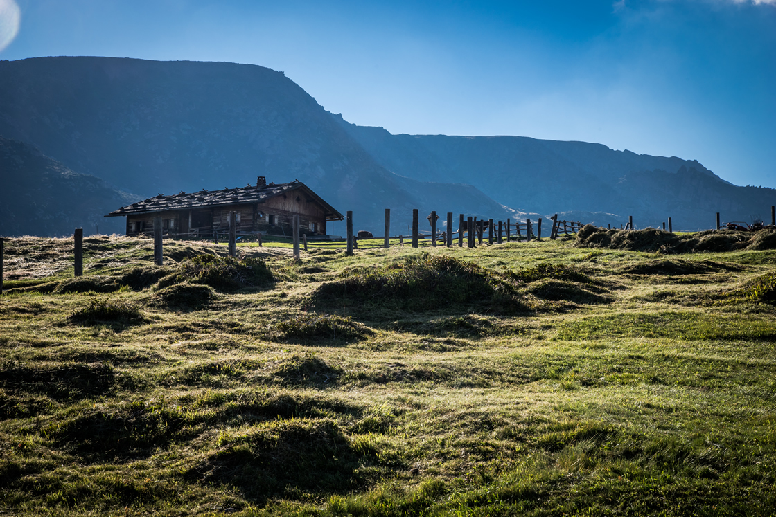
The start of the circular hike on the Villanderer Alm is at the Gasserhütte (refreshment stop). Follow trail no. 6 via Moar in Plun (refreshment stop) and the Pfroder Alm (refreshment stop) to Totenkirchl. From here, always follow trail no. 6 in the direction of Schwarzseen and Moar in Ums, where you change to trail 16B. This leads to the Prackfiederer Jöchl. On trail no. 16, past the Marzuner Schupfe (refreshment stop), then no. 15 back to the Moar in Plun, shortly after change to trail no. 23. Here you go to the Rinderplatzhütte (refreshment stop) and then on path 23 and 24 back to the Gasserhütte.
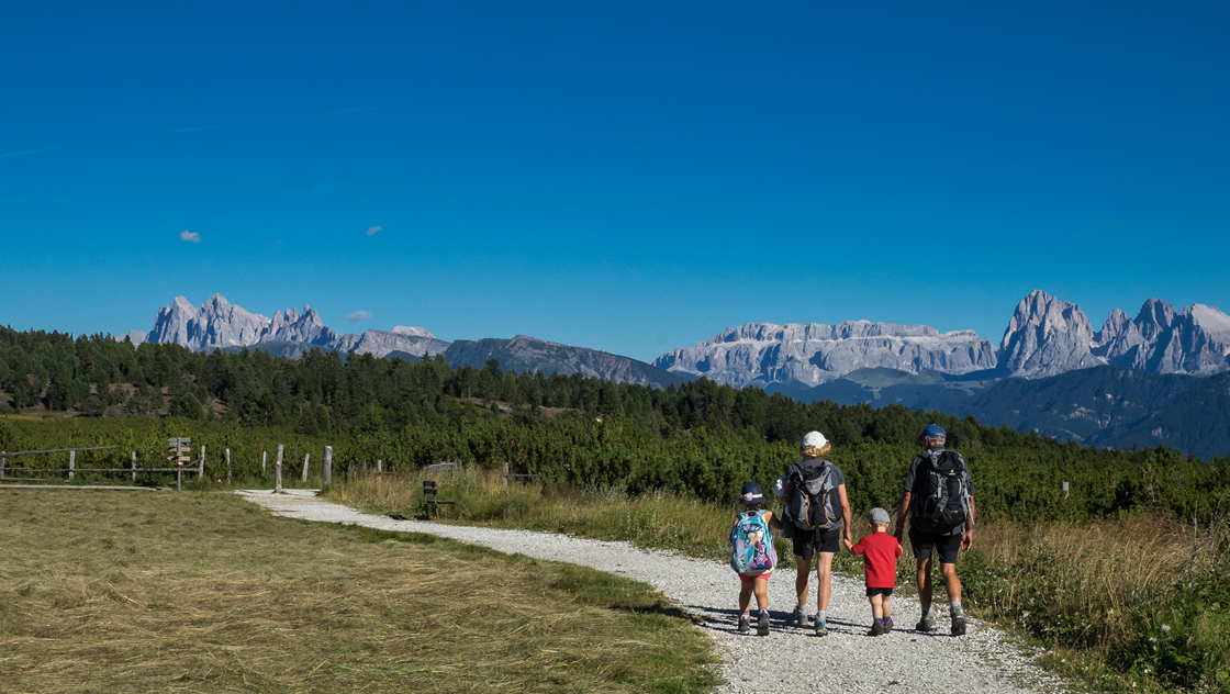
The Villanderer Alm is known to be one of the largest high alpine pastures in Europe and certainly one of the most popular hiking areas in South Tyrol. The Villanderer Alm circular trail leads on comfortable hiking paths to the most beautiful places of this wide plateau, here breathtaking panoramas alternate with grandiose natural beauty. But also man has left his traces here over centuries, if not millennia. For example, the trail passes the chapel "Am Toten", the way there is accompanied by old Stations of the Cross. A little further on at the Schwarzseen you can even find the remains of a mine from the 16th century.
Further hiking tips in Villanders
Old alpine path
Length: 2,4 km
Duration: 1 hour
Meters in altitude: 300 m
Start: Hotel Sambergerhof
Destination: Gasser Hütte
Route:
The old alpine path to the Gasser Hut is about 2.4 km long. Today it is closed to traffic and is therefore excellently suited as a hiking trail. In winter the old alpine path is a toboggan run. From the Sambergerhof about 300 m on the asphalted road to the Gasser hut. Then turn right and walk up to the alpine pasture and the Gasser hut.
To the Latzfonser Kreuz and the Kassianspitze
Length: 23 KM
Duration: 7-8 H
Meters in altitude: 800 M
Meters of altitude downhill: 800M
Start: Gasser hut
Destination: Kassianspitze
Route:
The Latzfonser Kreuz is the highest place of pilgrimage in Europe and an impressive hiking destination. From here it is not far to the summit of the Kassianspitze. The magnificent panoramic view is well worth the strenuous climb.